Profitis Hlias
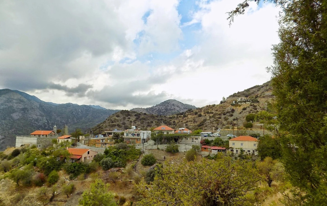
The community of Prophet Elias is located approximately 30 kilometers southeast of Limassol, in the geographical area of Pitsilia. It lies on the border between the districts of Limassol and Nicosia. The settlement was built at an altitude of 950 meters above sea level. It borders with Sykopetra to the south, Agios Konstantinos to the west, Palaichori to the north, Kambi to the northwest, and Melini and Odou to the east.

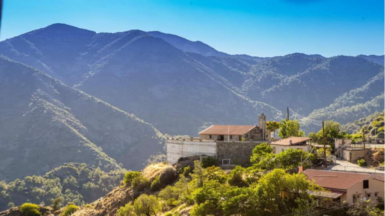
The village is surrounded by high hills. The largest are Papoutsa (1534 meters), Stavropefkos (1233 meters) and Kofini (1130 meters). The main feature of the mountains in the area is the huge rocks.
According to old sayings and stories, an icon of Prophet Elias was found by a resident of the village Sykopetra while he was digging in an orchard near the river and below the mountain. The discovery of the icon was interpreted as some kind of sign by him and his family, resulting in the construction of a chapel dedicated to Prophet Elias.
The chapel was built on a hill located on the mountainside, offering an unobstructed and uninterrupted view for a great distance. The area was dominated by beautiful, low-lying land among the hills of the Amathus river. In the same area where the chapel was built, this resident constructed his home, leading other family members and residents of the village Sykopetra to follow him. Thus, gradually, the community of Prophet Elias was formed.
The version for the origin of the name of the village and the creation of the settlement is:

The settlement of Prophet Elias was formerly called Lampiris. This name came from the name of the French consul in Cyprus, Lapier, who kept a tsifli in the area. When Lapier left Cyprus, he donated the tsifliki to the founder of the current settlement of Prophet Elias. The area was later renamed by the founder of the settlement, who built the church of the Prophet Elias after finding a picture of the Prophet on a nearby river.