Sykopetra
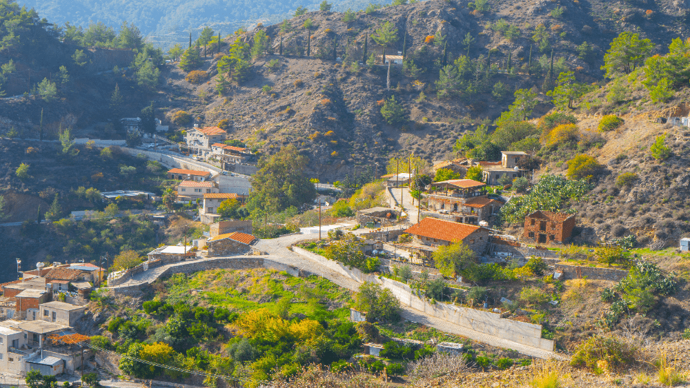
Sykopetra is located 30 kilometers southeast of Limassol, in the geographical area of Pitsilia. It is located on the border of Limassol, Nicosia, Larnaca.
The village is located in altitude of 800 meters above sea level. The borders are on the south with Arakapas, on the west with Saint Constantine, on the north with Paleochori, on the northwest with Kambi and on the east with Melini and Odos.

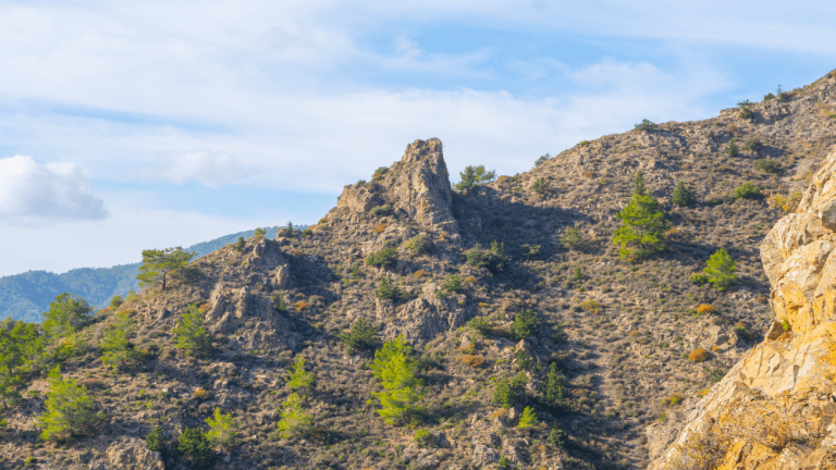
The administrative boundaries of the village include the settlement of Profitis Elias. The village is surrounded by high hills. The largest are Papoutsa (1534 meters), Stavropefkos (1233 meters) and Kofini (1130 meters). The main feature of the mountains in the area is the huge rocks.
Also, there are rocky valleys and rocky slopes. The deep valleys of the community are covered by riverside vegetation, such as plane trees, beetles, willows, rosewoods, goats, and cyclamen. Due to the high-altitude differences on the slopes, there are many types of trees, shrubs, semi-shrubs and wild grasses of Cyprus.
In the area, there is a bush forest, “Mavrodasos”. It covers a large part of the eastern part of the Papoutsas mountain range and consists mainly of olive groves. The village is known for its mushrooms and fruits.
According to archaeological finds of the area, the settlement of Sykopetra existed from the time of the Cypriot kingdoms (1050 BC – 725 BC).
Copper was also extracted near the village. Various toponyms document the existence of the village from the Byzantine period to the Ottoman domination of Cyprus. During the Frankish occupation, the village was assigned to the Order of the Knights of the Knights, and later, in the 14th century, to the Order of the Knights of the Ioannites.
The settlement of Prophet Elias was created a few decades ago when a farmer found a picture of Prophet Elias and built a chapel there. Taking the picture as a hint, he settled with his family in the area and creating a small settlement.
The version for the origin of the name of the village and the creation of the settlement is:

The village was named after a local legend. The beautiful Nafsika royal was traveling on her horse to the palace of Tamasu. Her horse, however, slipped on a large rock above the village, killing her. The shape of the horse’s foot is still visible on the rock today. The village was named “Nafsikopetra” in memory of the princess. Over time it was renamed Sykopetra for convenience.